River Murray Charts by Maureen Wright
River Murray Charts by Maureen Wright
Pickup available at Private Residence
Usually ready in 2-4 days
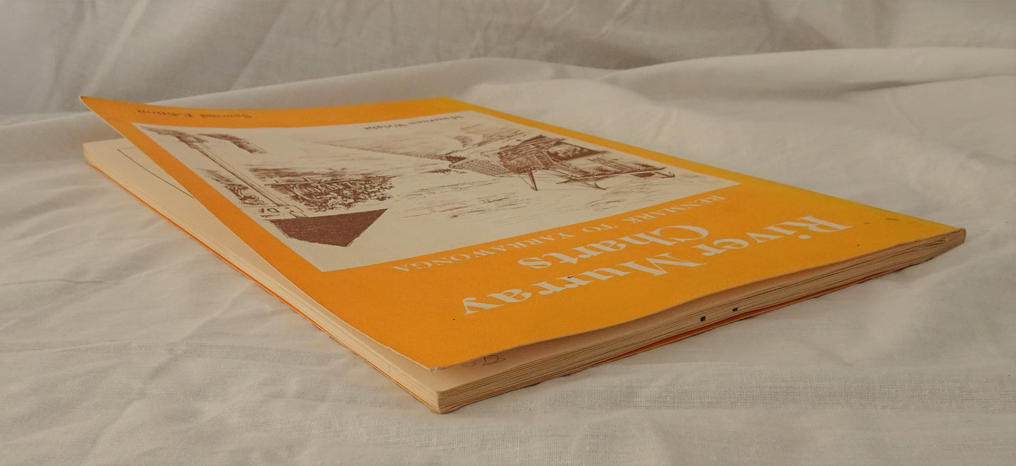
River Murray Charts
Renmark to Yarrawonga
Second Edition
by Maureen Wright
sketches by Neville Kroemer
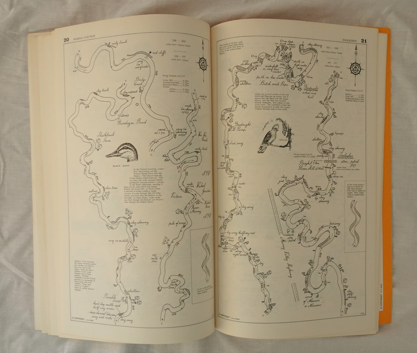
B. J. and M. A. Wright, 1981, ISBN 0959846301, black and white photographs, illustrations and mud maps, tall paperback with textured card
Very Good Condition, a little edge and shelf wear, a little rubbing and bumping to edges and corners, belongs to sticker on inside front cover (see photographs)
“These charts are the result of a fourteen-month trip along the Murray in 1973-1974 in a boat much the same size as that used by Captain Sturt in his voyage of discovery. We weren’t following in his footsteps or trying to re-live the past, but simply fancied the idea of a leisurely trip upstream to discover the Murray for ourselves – a trip that many people plan each year. Like us, they have found very little in the way of navigation charts to guide them.
The charts are designed for use with a hand-held compass, using compass bearings no more accurate than NNW or sixteen points of the compass. The names are handwritten to try to preserve the tradition of old river charts.”


